Severe Weather Watches Target Southwest Missouri, Southeast Kansas
National Weather Service issues severe thunderstorm and tornado watches covering six counties across Missouri and Kansas as dangerous storms threaten the region.
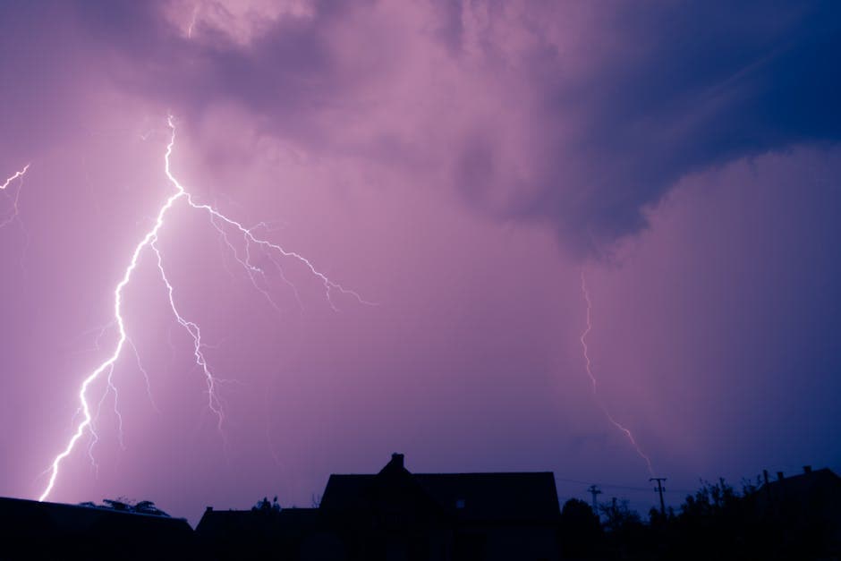
SPRINGFIELD, MISSOURI — The National Weather Service issued multiple severe weather watches across southwest Missouri and southeast Kansas on April 17, with communities from Lamar to Pittsburg preparing for dangerous thunderstorms and potential tornadoes.
A severe thunderstorm watch replaced portions of an earlier tornado warning at 8:46 p.m. CDT Thursday, extending until 2:00 a.m. CDT Friday morning, according to the National Weather Service Springfield office. The watch covers Cherokee County in southeast Kansas and three Missouri counties: Maries in central Missouri, and Barton and Cedar counties in southwest Missouri.
Multiple Communities Under Watch
The severe thunderstorm watch includes numerous cities and towns across the affected areas. In Missouri, the watch covers Arnica, Caplinger Mills, Cedar Springs, El Dorado Springs, Filley, Lamar, Neutral, Stockton, Stippville, and Vichy. Kansas communities under the watch include Baxter Springs, Columbus, Kenoma, Lowell, Riverton, and Sherwin.
Earlier Thursday, tornado watch 130 remained active until 9:00 p.m. CDT, covering a broader area that included Bourbon, Cherokee, and Crawford counties in southeast Kansas, along with Barton, St. Clair, and Vernon counties in Missouri.
Tornado Watch Coverage Expanded
The initial tornado watch, issued at 1:42 p.m. CDT Thursday, covered the same six-county area until 9:00 p.m. Cities under the tornado watch included Appleton City, Baxter Springs, Chicopee, Columbus, Fort Scott, Johnson City, Kenoma, Lamar, Lone Oak, Lowell, Neutral, Nevada, Pawnee Station, Pittsburg, Riverton, Sherwin, Stippville, and Tiffin.
The National Weather Service Springfield office coordinated all watch issuances for the affected regions. Weather officials transitioned from tornado watch conditions to severe thunderstorm watch parameters as atmospheric conditions evolved throughout the evening hours.
Regional Weather Impact
The watches affect communities across state lines, with Kansas locations including major cities like Fort Scott and Pittsburg alongside smaller communities. Missouri areas under watch span from central counties like Maries to southwest border regions near Kansas.
Residents in affected areas faced the potential for severe weather conditions including damaging winds, large hail, and heavy rainfall throughout the evening and overnight hours. The progression from tornado watch to severe thunderstorm watch indicates evolving weather patterns as storm systems moved through the region.
All watches were issued by the National Weather Service Springfield Missouri office, which maintains forecasting responsibility for the affected counties in both states. The office coordinates severe weather warnings and watches for southwest Missouri and portions of southeast Kansas.


