Severe Storms Bring Flooding, Damaging Winds to West Michigan
Severe thunderstorms with 60 mph winds and heavy rainfall triggered warnings across western Michigan, threatening property damage and flooding in multiple counties.

GRAND RAPIDS, MICHIGAN — Severe thunderstorms hit western Michigan early Tuesday morning, leading to warnings for damaging winds and flooding across multiple counties as the storm system moved eastward at 50 mph.
The National Weather Service in Grand Rapids issued a Severe Thunderstorm Warning at 3:43 AM EDT for northern Ottawa County, Muskegon County, and Oceana County, warning of 60 mph wind gusts capable of damaging roofs, siding, and trees. The warning remained in effect until 4:45 AM EDT.
At 3:43 AM EDT, radar indicated severe thunderstorms stretched along a line extending from 9 miles west of Silver Lake State Park to 15 miles west of Montague to 25 miles southwest of Roosevelt Park.
Communities in the Storm’s Path
Multiple communities faced the threat of damaging winds as the storm system tracked eastward. Areas impacted included Muskegon, Grand Haven, Hart, Shelby, Muskegon Heights, Coopersville, Roosevelt Park, North Muskegon, Ferrysburg, Whitehall, Montague, Spring Lake, Lakewood Club, Ravenna, Fruitport, Hesperia, Mears, Silver Lake State Park, and Allendale.
The radar-indicated storms posed significant risks to residents and property across the region, with forecasters warning people to expect damage from the powerful wind gusts.
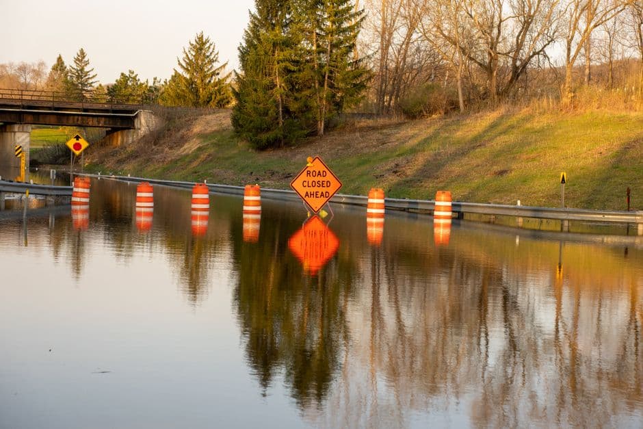
Flooding Concerns in Clare County
The National Weather Service issued a Flood Advisory for Clare County in central Michigan, effective from 2:55 AM EDT until 9:00 AM EDT Tuesday morning. The advisory warned of flooding caused by excessive rainfall in low-lying and poor drainage areas.
Doppler radar and automated rain gauges indicated heavy rain had already produced 0.5 to 1.5 inches of rainfall across the advisory area, with additional rainfall of up to 2 inches expected. Minor flooding was either ongoing or expected to begin shortly.
Communities in Clare County facing flood risks included Clare, Farwell, Harrison, Lily Lake, Lake George, Five Lakes, Arnold Lake, Cranberry Lake, Long Lake, Dodge and Townline, Doc and Tom Lake, Windover Lake, Leota, Springwood Lakes, Temple, Bailey Lake, Elbow Lake, and Eight Point Lake.
Safety Measures and Precautions
Weather service officials advised residents in affected areas to take immediate precautions against both wind damage and flooding. The combination of severe thunderstorms and heavy rainfall created dangerous conditions across western and central Michigan during the early morning hours.
The storm system’s rapid movement at 50 mph meant conditions could change quickly, requiring residents to stay alert for updated warnings and advisories from the National Weather Service.