Missouri Rivers Rise to Dangerous Levels as Flash Flooding Continues
Multiple Missouri rivers surge past flood stage as heavy rainfall triggers warnings through Sunday, with some waterways expected to reach moderate flood levels.
JEFFERSON CITY, MISSOURI — Multiple Missouri rivers exceeded flood stage Thursday as heavy rainfall continued to affect the state, with the National Weather Service extending flood warnings through Sunday night for several waterways across northern Missouri.
The North Fabius River near Ewing reached 13.5 feet Thursday morning and is forecast to crest at 17.0 feet Friday morning, well above the 11.0-foot flood stage, according to the National Weather Service in St. Louis. The South Fabius River near Taylor stood at 13.0 feet and is expected to peak at 18.2 feet Friday morning, significantly above its 10.0-foot flood stage.
The Middle Fabius River near Ewing measured 16.5 feet Thursday morning with forecasters predicting a crest of 19.1 feet Friday afternoon. At 19.2 feet, Lewis County Road Monterey Street near Lemon Street will begin flooding, the weather service warned.
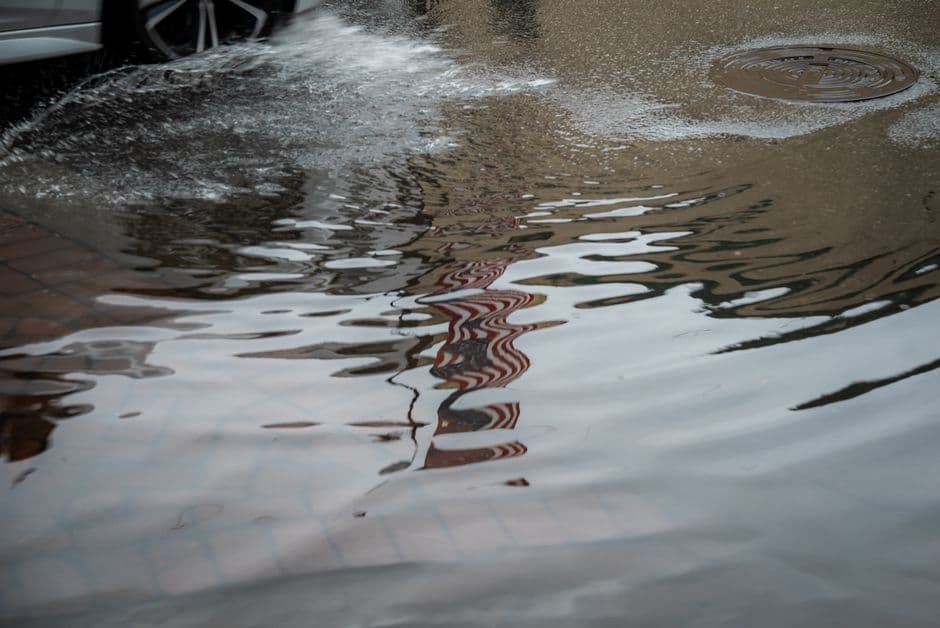
Shelby County Experiences Ongoing Flooding
Local law enforcement reported active flooding in Shelby County in northeastern Missouri, where a flood warning remained in effect until midnight Thursday. Areas experiencing flooding include Shelbina, Clarence, Shelbyville, Emden, Bethel and Leonard.
The weather service noted that numerous roads remained closed due to flooding and warned it would take several hours for storm water to work through local drainage systems in urban areas.
Heavy Rainfall Triggers Multiple Advisories
Early Friday morning, the National Weather Service in Paducah, Kentucky issued a flood advisory for portions of southern Illinois and southeast Missouri through 5:15 a.m. Doppler radar detected heavy rain from thunderstorms causing urban and small stream flooding.
Between 1 and 1.5 inches of rain fell in Perry County, Missouri, with up to 1 inch recorded in Jackson County, Illinois. Forecasters warned additional rainfall up to 1 inch could result in minor flooding in low-lying and poor drainage areas.
The affected locations include Carbondale, Perryville, Murphysboro, De Soto, Elkville, Hurst, Ava, Grand Tower, Altenburg, Cedar Lake Area, Makanda, Dowell, Campbell Hill, Vergennes, Frohna, Gorham, Longtown, Old Appleton, Lithium and Silver Lake.
Extended River Warnings Through Weekend
The National Weather Service continued flood warnings for the South Fabius River near Taylor, North Fabius River near Ewing, and Mid Fork Salt River near Holliday. Officials extended warnings for the North River at Palmyra and Middle Fabius River near Ewing through Sunday night.
All river forecasts are based on observed precipitation and forecast precipitation for the next 24 hours, according to weather service officials. The affected rivers are expected to fall below flood stage late Saturday evening or Sunday night.
Thursday afternoon, a flash flood watch covered portions of west central Illinois including Adams and Brown counties, as well as Knox, Lewis, Marion and Shelby counties in northeast Missouri. The watch warned that area creeks and streams were already swollen from recent rains, making additional flash flooding possible with new thunderstorm activity.


