High Winds Expected to Hit Western Michigan Communities Tonight
Rain showers with winds exceeding 40 mph tracked northeast across western Michigan Sunday night, threatening to knock down tree limbs in over 20 communities.
GRAND RAPIDS, MICHIGAN — A line of rain showers capable of producing damaging winds was moving northeast across western Michigan at 50 mph Sunday night, prompting weather officials to issue a special weather statement for multiple communities.
The National Weather Service in Grand Rapids tracked the storm system using Doppler radar at 10:35 p.m. EDT, identifying the weather front stretching from 35 miles west of Grand Haven to 10 miles west of St. Joseph. Wind gusts exceeding 40 mph were expected as the system advanced through the region.
Potential Impacts and Safety Concerns
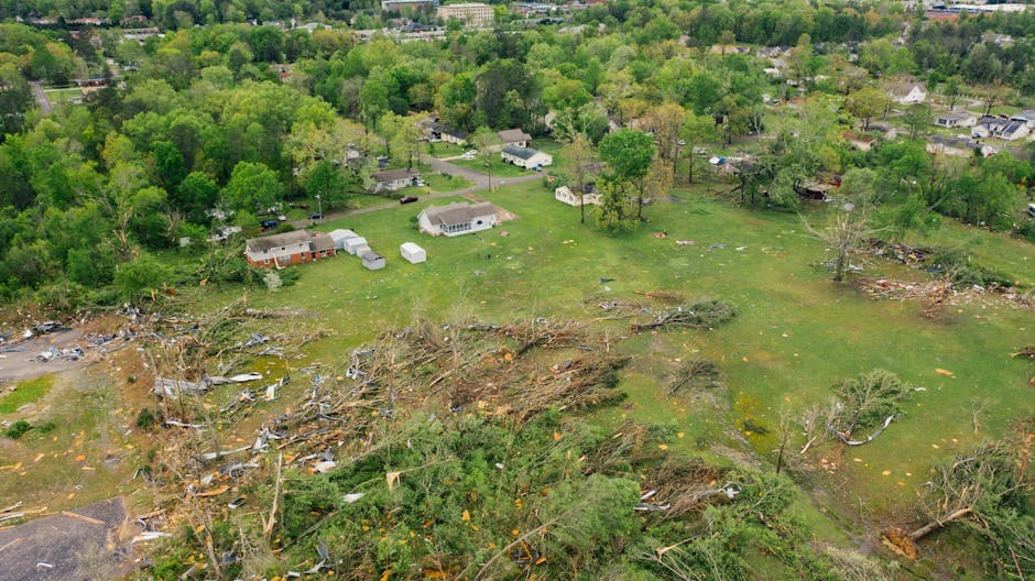
Weather officials warned that the gusty winds could knock down tree limbs and blow around unsecured objects throughout the affected areas. The radar-indicated storm system posed immediate risks to outdoor items and vegetation across western Michigan communities.
Residents were advised to secure loose outdoor furniture, trash cans, and other objects that could become projectiles in high winds. The combination of rain and strong winds also increased the likelihood of fallen branches on roadways and power lines.
Communities in Storm’s Path
The weather statement identified numerous communities expected to experience the severe weather conditions. Major population centers in the storm’s path included Muskegon, Holland, Grand Haven, Allegan, and South Haven.
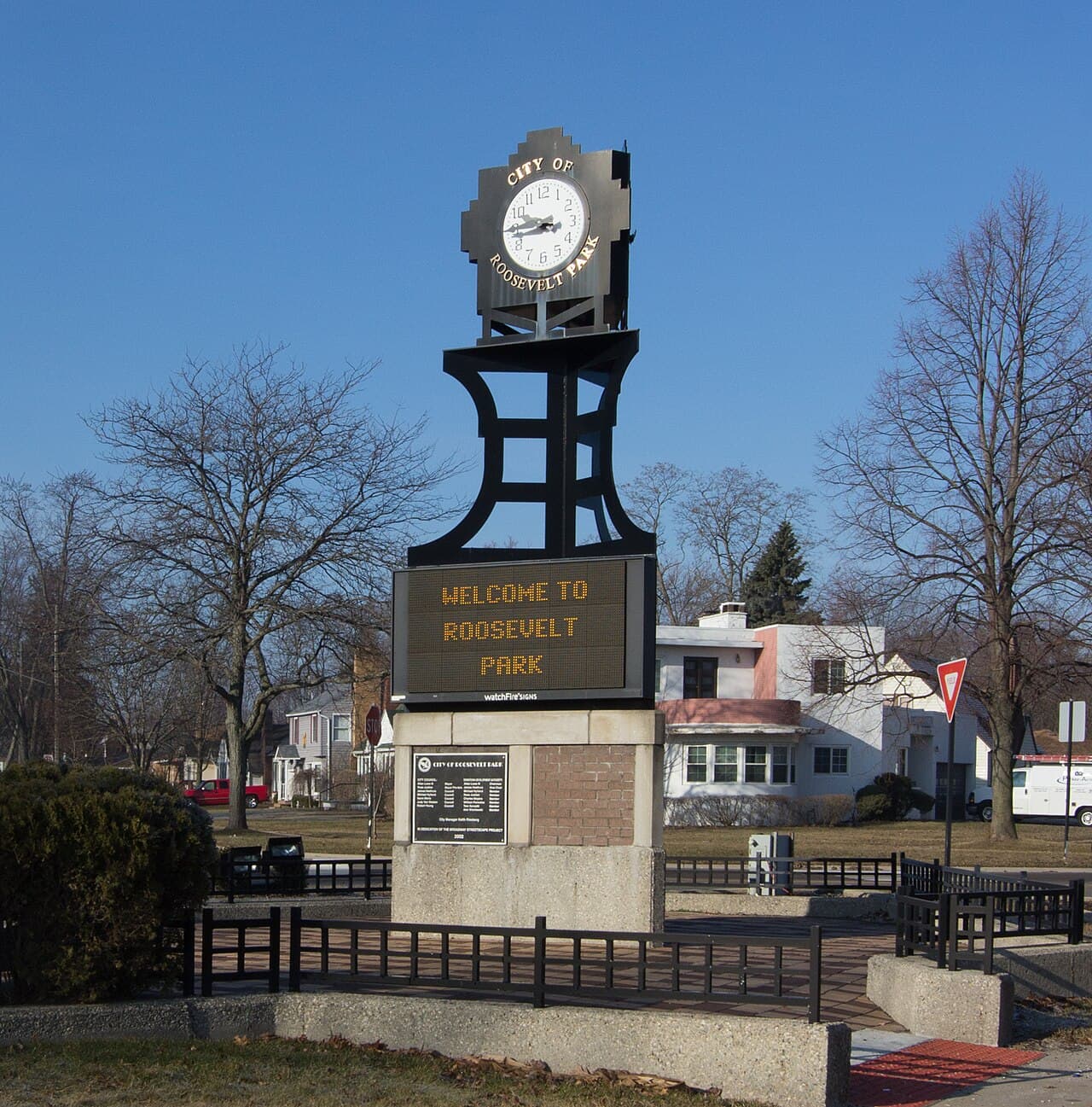
Additional communities forecast to experience the high winds and rain included Paw Paw, Walker, Muskegon Heights, Hudsonville, Zeeland, Coopersville, Wayland, Otsego, Roosevelt Park, and Plainwell. Smaller communities such as North Muskegon, Ferrysburg, Whitehall, Hartford, and Montague were also within the projected impact zone.
Storm Timing and Movement
The fast-moving weather system’s northeast trajectory at 50 mph meant communities would experience relatively brief but intense periods of high winds and rainfall. The storm’s speed suggested that most areas would see conditions improve within hours of the system’s passage.
The National Weather Service continued monitoring the storm’s progress through the night, with meteorologists tracking any changes in intensity or direction that could affect the forecast impact areas.