Flash Flood Warnings Strike Southeast Ohio and West Virginia
Thunderstorms dropped up to 4.5 inches of rain on southeastern Ohio and the West Virginia border before 7 a.m., triggering flash flood warnings for dozens of communities and major stretches of Interstate 77.
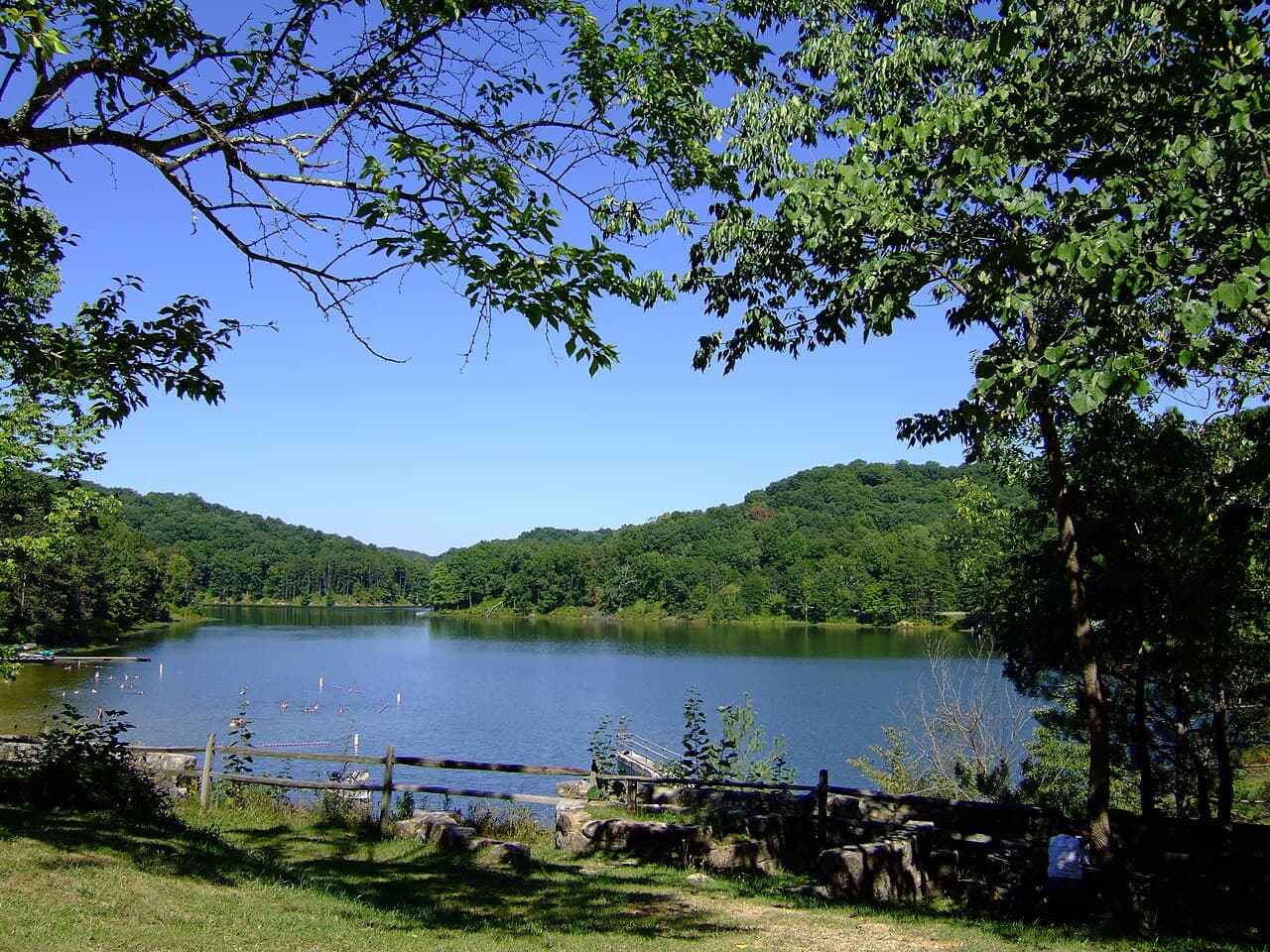
PARKERSBURG, WEST VIRGINIA — Flash flood warnings were in effect across parts of southeastern Ohio and the West Virginia border region early Thursday morning, as powerful thunderstorms dumped up to 4.5 inches of rain on already saturated ground, according to the National Weather Service in Charleston.
Two Separate Warnings Issued Before 7 a.m.
The National Weather Service issued the first flash flood warning at 6:40 a.m. EDT for Vinton County in southeastern Ohio, extending the alert until 9:45 a.m. EDT. Doppler radar and automated rain gauges confirmed between 3 and 4.5 inches of rain had fallen in the area, with an additional 0.5 inches still possible. Flash flooding was already ongoing at the time of the warning.
A second warning followed at 6:43 a.m. EDT, covering a broader area along the Ohio-West Virginia border and set to expire at 8:00 a.m. EDT. Radar indicated between 1 and 3.5 inches of rain had fallen in that zone, with up to 0.5 additional inches of rainfall expected. Flash flooding was described as ongoing or expected to begin shortly.
Dozens of Communities Affected
The broader border-region warning listed more than 20 communities at risk of flash flooding, including Parkersburg, Marietta, Belpre, St. Marys, Beverly, Coolville, Vienna, Williamstown, Belmont, Boaz, Lubeck, Washington, Mineralwells, Newport, Matamoras, North Hills, Lowell, Lower Salem, Fleming and Devola.
In Vinton County, the warned locations included McArthur, Lake Hope State Park, Zaleski, Creola, Allensville and Eagle Mills, according to the National Weather Service.
Both warnings cited flash flooding of small creeks and streams, urban areas, highways, streets, underpasses and other low-lying or poor-drainage areas as the primary impacts.
Major Highways in the Flood Zone
Several major roadways fell within the warned area. The National Weather Service identified Interstate 77 in West Virginia between mile markers 169 and 186 as affected, along with Interstate 77 in Ohio between mile markers 1 and 13. Route 50 in West Virginia between mile markers 1 and 15 was also included in the warning.
Motorists were urged to avoid driving through flooded roadways, as shallow water can conceal road damage and moving water can quickly sweep vehicles off course.
Both warnings were issued by the National Weather Service office in Charleston, West Virginia, which monitors weather conditions across the region. Residents in all warned areas were advised to monitor local conditions closely and move to higher ground if flooding threatened their location.


