Major Flooding Hits Menominee River Along Michigan-Wisconsin Border
Major flooding strikes the Menominee River system along the Michigan-Wisconsin border, with water levels approaching record heights at multiple locations.
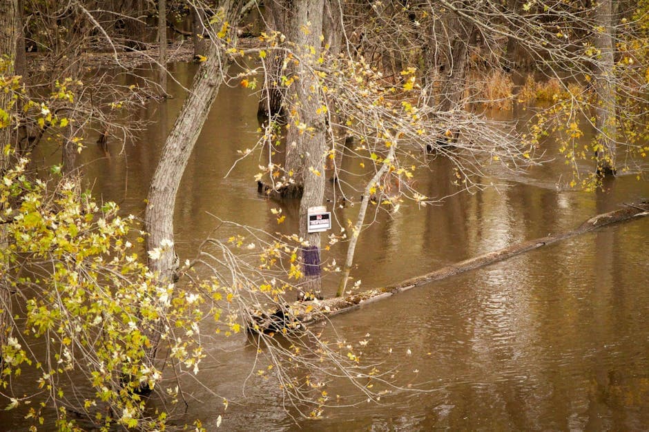
IRON MOUNTAIN, MICHIGAN — Major flooding is occurring along the Menominee River system, with the National Weather Service issuing multiple flood warnings Wednesday for areas spanning Michigan’s Upper Peninsula and northeastern Wisconsin.
The flood warnings, issued at 11:43 AM Central Daylight Time by the National Weather Service Green Bay office, affect Marinette, Menominee, Dickinson, Florence, and Iron counties. Multiple locations along the river are experiencing flooding that approaches record levels.
Major Flooding at Key Locations
The most severe flooding is occurring at McAllister, where major flooding is both occurring and forecast to continue until further notice. Water levels at this location are approaching the flood of record at 19.0 feet, according to weather service officials.
Six specific areas along the Menominee River are under flood warnings: near Niagara, near Menominee River at White Rapids Dam, near Koss, near Florence, near Vulcan, and near McAllister. The weather service forecasts major flooding for the entire river system, including Florence, Twin Falls Dam-Iron Mountain, Vulcan, Niagara, Pembine, Menominee River at White Rapids Dam, Koss, and McAllister.
Timeline and Duration of Warnings
Most flood warnings will remain in effect through early next week. The warning for the Niagara area extends until Tuesday evening at 7:00 PM CDT, while the Florence area warning expires Monday evening at 10:00 PM CDT. The Vulcan area warning continues until Tuesday morning at 11:00 AM CDT.
Several locations have warnings that remain in effect “until further notice,” including the McAllister, Koss, and White Rapids Dam areas, indicating uncertainty about when water levels will recede.
Specific Impacts Reported
At various flood stages, different impacts are occurring throughout the region. Near Koss, floodwaters at the 18.0-foot level are approaching homes on the Wisconsin side of the river. At the White Rapids Dam location, flooding at 14.0 feet remains confined to wooded lowland areas.
In the Vulcan area, structures along Homestead Road are being affected at the 17.0-foot level. Near Florence, floodwaters at 10.0 feet are reaching homes and cottages along area roads.
The flooding represents a significant weather event for the region, with conditions approaching historical records at multiple measurement points. Residents in affected areas should monitor local conditions and heed any evacuation orders or safety recommendations from local emergency management officials.
The National Weather Service continues to monitor river levels and will update warnings as conditions change throughout the Upper Peninsula and northeastern Wisconsin border region.


