Severe Storms and Dangerous Heat Strike Northern Michigan
Severe thunderstorms with 60 mph wind gusts swept through Gaylord and surrounding northern Michigan communities Wednesday night — on top of a Heat Advisory warning of dangerous index values up to 103 degrees.
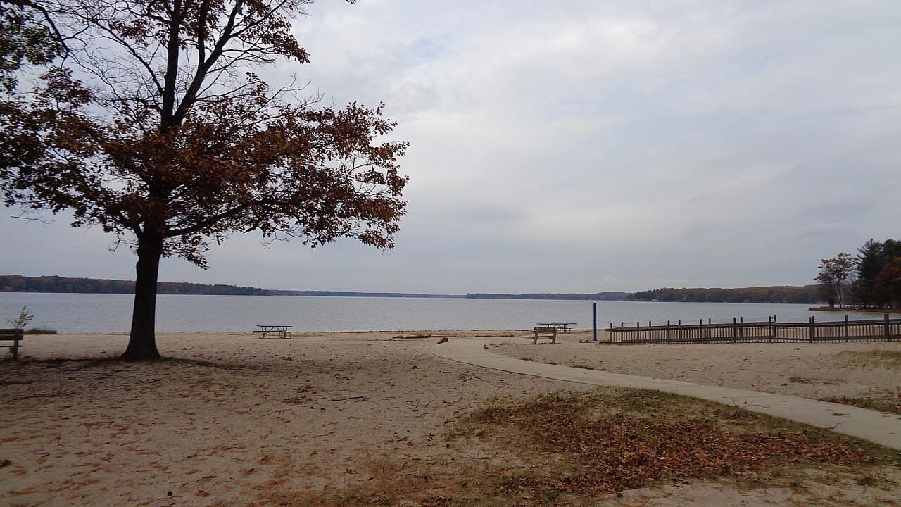
GAYLORD, MICHIGAN — Severe thunderstorms with 60 mph wind gusts moved through northern Michigan on Wednesday night. A Heat Advisory for parts of Eastern Upper and Northern Lower Michigan remains active until 8 p.m. Thursday, as reported by the National Weather Service office in Gaylord.
Severe Thunderstorms Move East at 40 MPH
The National Weather Service in Gaylord issued several Severe Thunderstorm Warnings on the evening of July 1, tracking storms moving east at 40 mph. Radar-indicated wind gusts of up to 60 mph led to warnings for several counties in northern Michigan.
At 9:49 p.m. EDT, a severe thunderstorm was located over Waters, about 8 miles south of Gaylord. The storm was expected to impact Gaylord, Otsego Lake State Park, and Chester Township around 9:55 p.m. EDT, with Johannesburg affected around 10:00 p.m. EDT. That warning was in effect until 10:15 p.m. EDT.
A separate warning at 9:41 p.m. EDT covered Southeastern Antrim County and Northern Kalkaska County. At that time, a severe thunderstorm was over Kalkaska, also moving east at 40 mph. The storm was forecast to reach Darragh around 9:45 p.m. EDT, with Blue Lake Township in its path.
By 9:50 p.m. EDT, another storm was over Darragh, about 7 miles northeast of Kalkaska. This storm was expected to remain over mainly rural areas of southeastern Antrim and northeastern Kalkaska Counties, including Blue Lake Township, according to the National Weather Service.
Wind Gusts Threaten Roofs, Siding, and Trees
All three storm warnings highlighted wind gusts reaching 60 mph, as indicated by radar. The National Weather Service warned of potential damage to roofs, siding, and trees in the affected areas.
All warnings were issued by the NWS Gaylord office and expired at 10:15 p.m. EDT on July 1.
Heat Advisory Extends Through Thursday Evening
Separate from the storm threat, the National Weather Service in Gaylord issued a Heat Advisory starting July 1 at 2:44 p.m. EDT, lasting through 8 p.m. EDT on Thursday, July 2. The advisory covers Alcona, Alpena, Arenac, Cheboygan, Gladwin, Iosco, Montmorency, Ogemaw, Oscoda, and Presque Isle Counties.
Heat index values in those counties could reach 103 degrees, according to the advisory. A broader advisory for parts of Eastern Upper and Northern Lower Michigan cited heat index values up to 101 degrees.
The National Weather Service warned that the combination of hot temperatures and high humidity may cause heat-related illnesses. Residents in affected areas are urged to stay hydrated, limit outdoor activity during peak afternoon hours, and check on vulnerable neighbors and family members.


