Strong Thunderstorms with Funnel Cloud Warning Hit Palm Beach County
Strong thunderstorms with wind gusts up to 55 mph and potential funnel cloud activity swept through Palm Beach County Monday afternoon.
WEST PALM BEACH, FLORIDA — A series of strong thunderstorms with wind gusts up to 55 mph and the potential for funnel clouds moved through Palm Beach County on Monday afternoon, prompting multiple weather warnings from the National Weather Service Miami office.
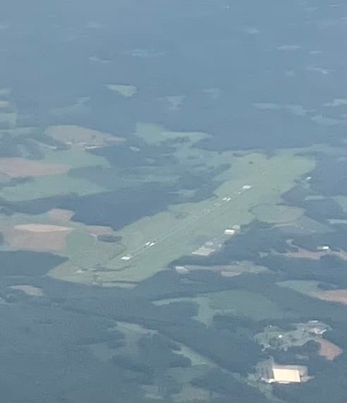
The most severe storm developed northwest of North County Airport at 3:55 p.m., with meteorologists tracking a thunderstorm capable of producing a funnel cloud approximately 10 miles southeast of Indiantown. According to the National Weather Service, the storm was moving southeast at 10 mph and carried wind gusts of 50 to 55 mph along with penny-size hail.
“Funnel clouds occasionally touch down and produce tornadoes or waterspouts,” the weather service warned in their advisory. “Gusty winds could knock down tree limbs and blow around unsecured objects.”
Multiple Storm Cells Track Across Region
Earlier storms began impacting the area around 3:11 p.m., with the first thunderstorm centered over North County Airport near Palm Beach Gardens. This initial cell produced wind gusts of 45 to 50 mph and pea-size hail as it moved southeast at 15 mph.
A second powerful storm developed over Palm Beach International Airport at 3:59 p.m., bringing the strongest winds of the afternoon with gusts reaching 50 to 55 mph. The storm continued moving southeast, affecting communities from West Palm Beach to South Palm Beach.
By 4:31 p.m., meteorologists were tracking another strong thunderstorm over North County Airport, maintaining wind speeds of 45 to 50 mph with pea-size hail as it continued its southeastern path.
Widespread Impact Across Palm Beach Communities
The storms affected numerous communities throughout Palm Beach County. Areas impacted by the various storm cells included West Palm Beach, Jupiter, Palm Beach Gardens, Riviera Beach, Palm Beach, Juno Beach, North Palm Beach, Lake Park, Tequesta, Lake Worth, Greenacres, Royal Palm Beach, Palm Springs, Lantana, and Atlantis.
Additional locations in the storm’s path included Haverhill, Cloud Lake, Port Of Palm Beach, Schall Circle, Juno Ridge, Palm Beach International Airport, Royal Palm Estates, The Acreage, Mangonia Park, Lakeside Green, FAU North Campus, Plantation Mobile Home Park, Golden Lakes, Gun Club Estates, Lake Belvedere Estates, Downtown West Palm Beach, Lake Clarke Shores, South Palm Beach, Manalapan, Caloosa, Philo Farms, Jupiter Farms, and Limestone Creek.
Safety Concerns and Potential Damage
Weather officials warned that the gusty winds could knock down tree limbs and blow around unsecured objects, with minor damage possible to outdoor items. The presence of funnel clouds added an additional layer of concern, as these weather phenomena can occasionally touch down and create more serious tornado or waterspout conditions.
All weather statements were issued by National Weather Service meteorologists using radar-indicated data to track the storms’ movement and intensity. The storms represented typical late spring severe weather patterns for South Florida, though the presence of a potential funnel cloud elevated the threat level beyond routine thunderstorm activity.
Residents in affected areas were advised to secure outdoor objects and avoid being outdoors during the peak intensity of the storms as they moved through their communities.