Heavy Thunderstorms Stall Over North Georgia Mountains, Flooding Possible
Radar-detected thunderstorms remain stationary over north Georgia mountains, threatening temporary street flooding in multiple communities including Dahlonega and popular state parks.

DAHLONEGA, GEORGIA — A line of strong thunderstorms remained nearly stationary across north Georgia early Thursday morning, prompting the National Weather Service to issue a special weather statement warning of potential street flooding from heavy rainfall.
The National Weather Service office in Peachtree City issued the alert at 12:26 a.m. EDT Thursday, reporting that radar indicated the storm system was positioned along a line extending from near Batesville to near Amicalola Falls State Park. The storms showed little movement, increasing the risk of localized flooding in areas with poor drainage.
Affected Areas
The weather service identified numerous locations in the path of the heavy rainfall. Communities directly impacted include Dahlonega, Cleveland, Dawsonville, Clermont, Helen, and Suches.
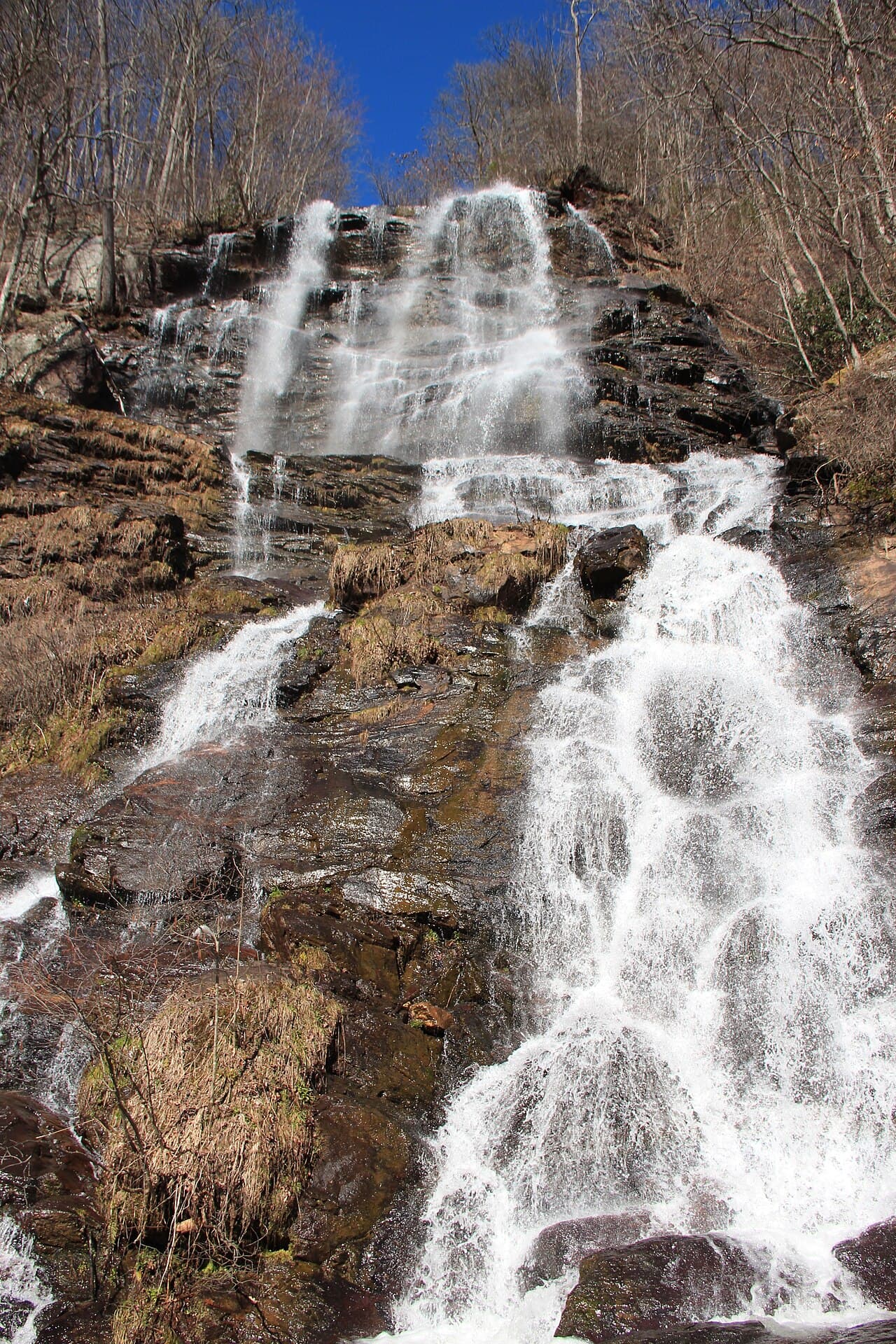
Popular outdoor destinations also fell within the storm’s reach, including Unicoi State Park, Amicalola Falls State Park, Anna Ruby Falls, and the Len Foote Hike Inn. Additional areas experiencing heavy rain include Robertstown, Mossy Creek, Low Gap Shelter, Leaf, Turners Corner, Sautee, Qualatchee Lake, Camp Merrill, Whitley Gap Shelter, and Camp Coleman Lake.
Flooding Concerns
Weather officials warned that the primary hazard from these storms is heavy rainfall, which may cause temporary street flooding, particularly in areas with inadequate drainage systems. The stationary nature of the storm system increases the potential for significant rainfall accumulation over the same geographic areas.
The National Weather Service relies on radar data to track storm intensity and movement patterns. When storms remain stationary or move slowly, the risk of localized flooding increases compared to fast-moving weather systems that distribute rainfall over larger areas.
North Georgia’s mountainous terrain can create additional challenges during heavy rainfall events, as water runoff from elevated areas can quickly overwhelm drainage systems in valleys and low-lying areas. The region’s popular state parks and hiking destinations often experience temporary trail closures during severe weather events to ensure visitor safety.