Major Flooding Forecast for West Michigan Rivers Following Heavy Rainfall
Heavy rainfall triggers multiple flood warnings across west Michigan rivers, with major flooding forecast near Evart approaching historic levels.

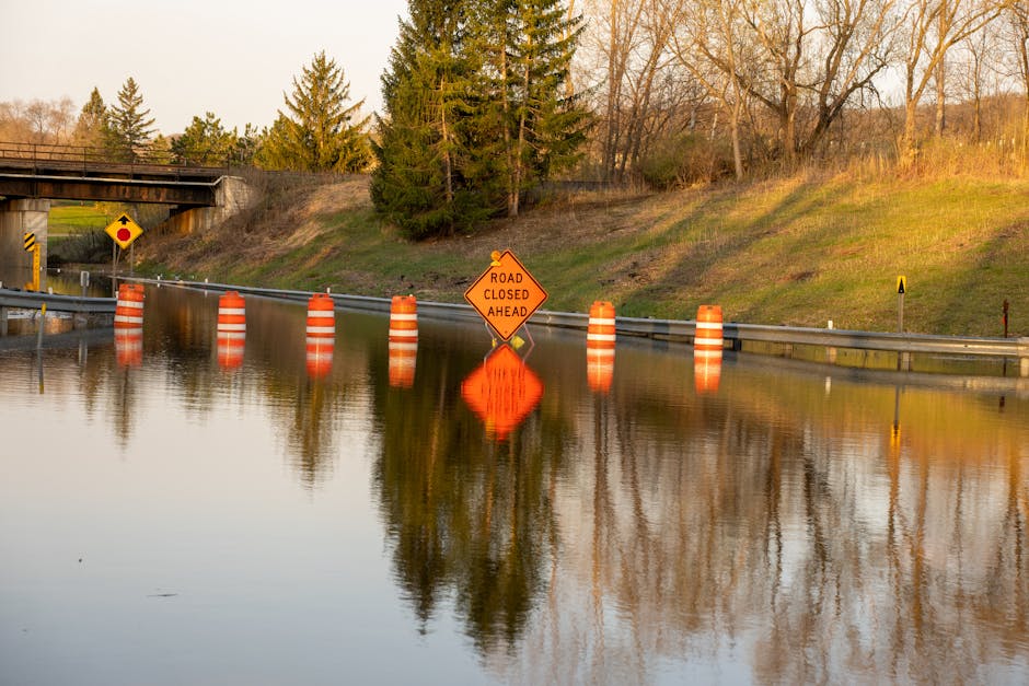
GRAND RAPIDS, MICHIGAN — The National Weather Service issued multiple flood warnings Monday morning for rivers across western Michigan as water levels continue rising after 2-4 inches of rainfall hit the region in the past 24 hours.
The most severe warning affects the Muskegon River at Evart in Osceola County, where major flooding is forecast beginning late Monday night. At 14.0 feet, officials expect major flooding in subdivisions along the river upstream of Evart, with high water threatening the sewage treatment plant at 14.5 feet.
“This approaches the flood of record,” according to the National Weather Service Grand Rapids office, which issued the warnings at 11:28 AM EDT Monday.
Multiple Rivers Under Flood Warnings
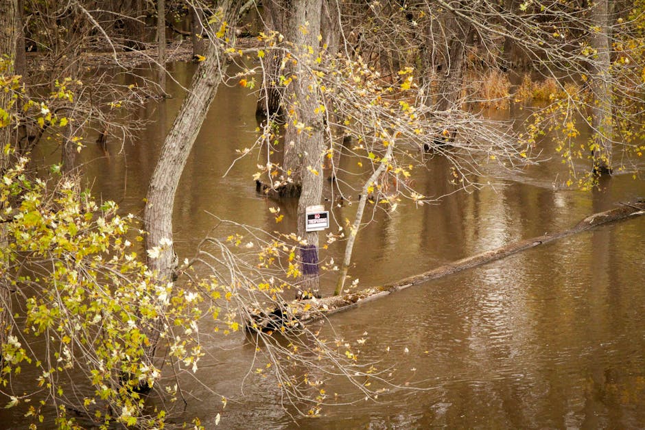
The Muskegon River system faces widespread flooding across four monitoring points. At Newaygo, moderate flooding is forecast beginning Tuesday morning, with flood water expected to surround cottages and homes on Sarrell Street at 14.0 feet. Moderate flooding is also forecast at Bridgeton starting Tuesday evening, where flood waters will cover South River Drive and Main Street near Maple Island Drive.
Near Croton, minor flooding begins Tuesday evening at 10.5 feet, affecting cottages in Devils Hole and Main Street in Brooks Township. All public river access sites are expected to close at that level.
The Grand River near Comstock Park in Kent County remains under an extended flood warning until just after midnight Monday, though no flooding is currently forecast. At 10:20 AM Monday, the river stage measured 11.8 feet, just below the 12.0-foot flood stage that would cause minor flooding of homes along Abrigador Trail.
Additional Rain Expected This Week
Water levels across the Grand River and Portage River basins are slowly falling, but forecasters warn that additional rounds of rain over the next three days will cause levels to rise again. The National Weather Service expects renewed flooding and plans to issue another flood warning later this week.
The Portage River near Vicksburg in Kalamazoo County reached 5.0 feet at 6:00 PM Sunday, matching the flood stage. At this level, water overflows into wooded areas, yards, outbuildings, and farmland adjacent to the river. The warning remains in effect until further notice, with additional rises possible.
Forecasters attribute the flooding to heavy rainfall in the headwaters areas of the affected river systems, with the water now draining downstream through the network of rivers and tributaries across western Michigan.