Level 4 Severe Weather Risk Issued for Central North Carolina Monday

RALEIGH — Central North Carolina faces a Level 4 out of 5 severe weather risk Monday, with forecasters warning of dangerous thunderstorms and potential tornadoes across the region.
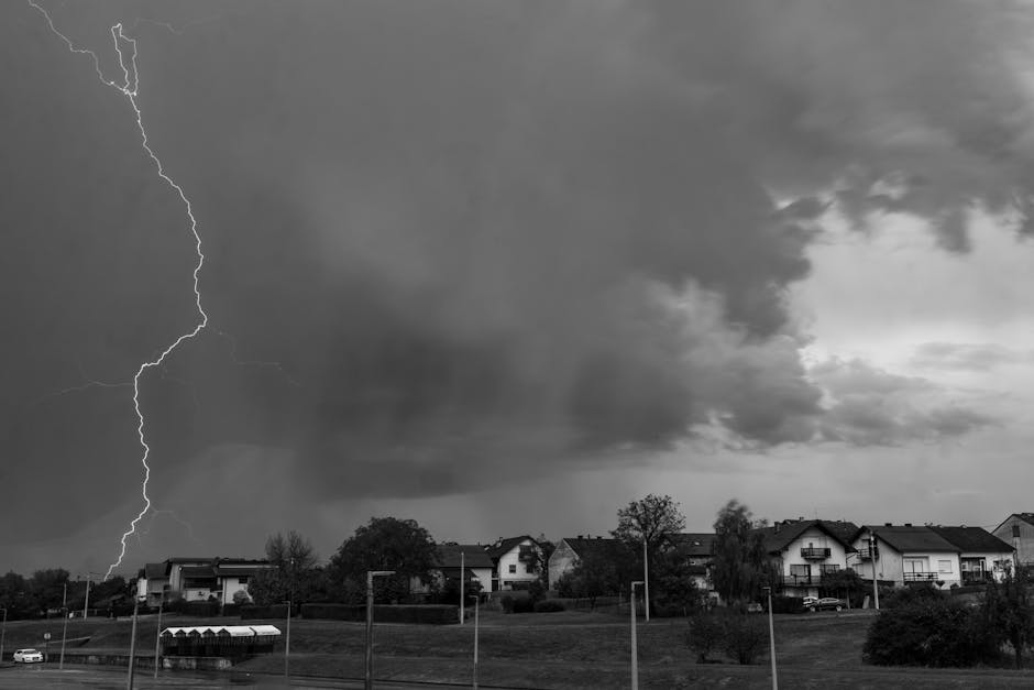
The Storm Prediction Center issued the moderate risk forecast for areas including Raleigh, Durham, and surrounding counties. Weather officials said conditions are favorable for severe storms capable of producing damaging winds, large hail, and tornadoes.
“This is a significant weather event that residents need to take seriously,” said meteorologists at the National Weather Service office in Raleigh. The Level 4 risk represents the second-highest category on the severe weather scale.
Timeline and Storm Development
Severe thunderstorms are expected to develop during the afternoon and evening hours Monday. The primary timeframe for the most dangerous weather spans from 2 p.m. to 10 p.m., according to forecast models.
Atmospheric conditions include strong wind shear and instability that create an environment conducive to supercell thunderstorms. These rotating storms pose the greatest tornado threat to the region.
Temperature contrasts and an approaching cold front are driving the severe weather pattern. Wind speeds in the upper atmosphere are forecast to reach 60-70 mph, contributing to the enhanced tornado potential.
Tornado and Wind Threats
The tornado risk extends across much of central North Carolina, with the highest probability centered over the Triangle region. Forecasters warned that any tornadoes that develop could be strong and potentially long-tracked.
Damaging wind gusts up to 70 mph are possible with the strongest storms. These winds can down trees and power lines, creating hazardous travel conditions and widespread power outages.
Hail up to quarter-size is also forecast, with isolated areas potentially seeing larger stones. The combination of threats makes Monday’s weather pattern particularly concerning for meteorologists.
Safety Preparations
Emergency management officials urged residents to have multiple ways to receive weather warnings. Mobile weather alerts, NOAA Weather Radio, and local television coverage provide the fastest notification of dangerous conditions.
People should identify their safe place in advance, typically the lowest floor of a sturdy building away from windows. Mobile homes and vehicles offer little protection from tornadoes and should be abandoned for more substantial shelter.
Schools and businesses across the region are monitoring the forecast closely. Some outdoor events scheduled for Monday afternoon and evening may face cancellations or postponements as conditions deteriorate.
The severe weather threat is expected to diminish late Monday night as the storm system moves eastward. Cooler, more stable conditions should return by Tuesday morning across central North Carolina.
Sources: ABC11 Raleigh-Durham, National Weather Service